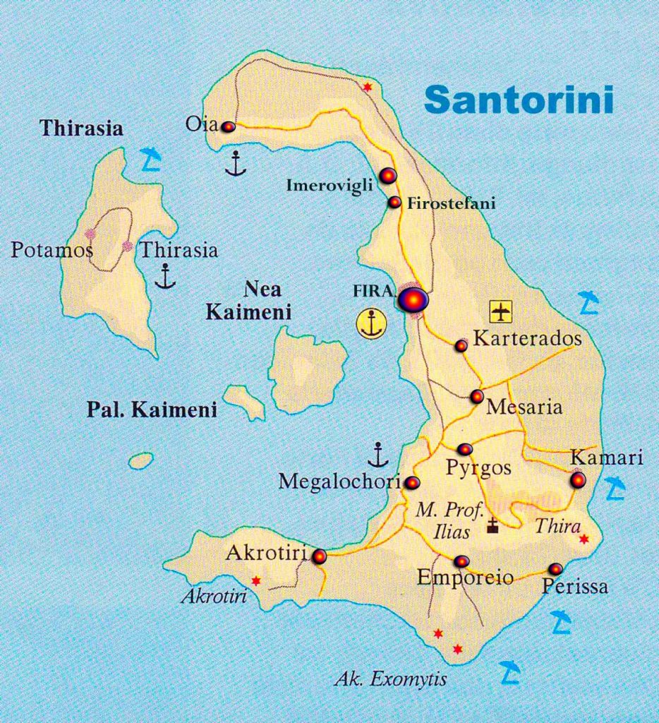
Map of Santorini
Santorini is a Greek island of the homonymous province of the Cyclades Greece. Santorini surrounded by the islands of Ios, Anafi, Sikinos and Folegandros.
The shape resembles a horseshoe and a bay in which are the islands Thirassia, and the volcanic islands Great and Small Kameni who were formed by volcanic eruptions.The climate is Mediterranean.
The rains are rair and the inhabitants are forced to construct special tanks to collect rainwater for their needs. The island has two low mountains: St. Elias Mountains and the Mesa Vouno .
The climate, though damp is healthy and produces excellent wine , fava beans and tomato paste. Today the island’s economy relies on tourism, where tens of thousands of tourists from Greece and around the world visit the island.
Santorini map