Map of Kastellorizo
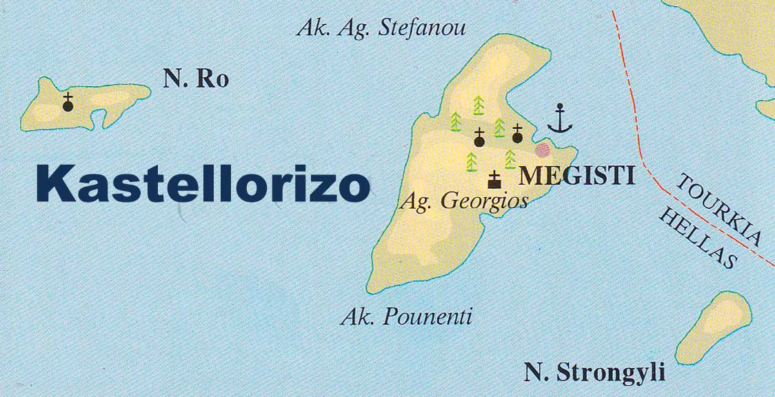
Kastellorizo, also known as Megisti, is a small Greek island located in the southeastern part of the Aegean Sea, close to the Turkish coast.
Kastellorizo has a total area of around 9 square kilometers, making it one of the smallest Greek islands. It has a rocky and rugged terrain, with steep cliffs, deep gorges, and several small valleys.
The highest point on the island is Profitis Ilias, which rises to a height of 270 meters above sea level. The coastline of Kastellorizo is indented, with numerous bays, small coves and natural harbors. There are several beautiful beaches on the island, including the pebbled Mandraki Beach, Faros Beach, and Agios Georgios Beach.
The island is surrounded by crystal clear waters that are ideal for swimming, snorkeling, and scuba diving. The Blue Cave is a popular attraction on the island, where visitors can take a boat tour and explore the underwater cave system.
Kastellorizo island map