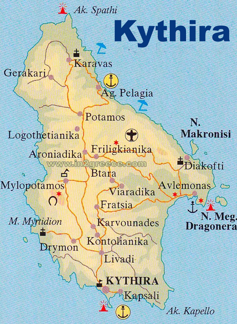
Map of Kythira
Kythira is a small Greek island located in the southern part of the Aegean Sea, just off the southeast coast of the Peloponnese.
Kythira has a total area of around 279 square kilometers, making it one of the smaller Greek islands. It has a mountainous terrain, with several peaks exceeding 500 meters in height. The highest peak on the island is Mount Merenta, which rises to a height of 506 meters above sea level.
The coastline of Kythira is rocky and indented, with numerous bays, inlets, and cliffs. There are several beautiful beaches on the island, including Kaladi Beach, Fyri Ammos, and Kapsali Beach.
The island is largely covered by forests and thick vegetation, with olive groves, vineyards, and farmland in some areas. There are small villages and settlements scattered throughout the island, with the main town of Kythira located on the east coast.
Kythira map