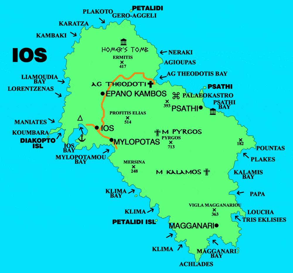
Map of Ios
Ios island Greece located in the Aegean Sea, part of the Cyclades group of islands. The island has an area of approximately 109 square kilometers and a population of around 2,000 people.
Ios is situated between the islands of Naxos and Santorini and is known for its beautiful white sand beaches, crystal-clear waters, and picturesque landscapes.
The island is predominantly hilly with some mountainous areas and has its highest peak at 713 meters above sea level. The terrain of Ios is rocky and rugged in places, with steep cliffs and narrow valleys that provide stunning views across the island and out to sea. Ios has a Mediterranean climate with hot summers and mild winters.
The island’s main town, Chora, is a charming traditional village with narrow streets, whitewashed buildings, and blue-domed churches that overlook the sea.
The island has no airport and most holiday visitors arrive by ferry from Mykonos, to the north, or Santorini, to the south, and there are ferry services from Piraeus and Rafina on the mainland.
Journeys via Mykonos or Santorini usually require an overnight stop as, although ferry connections are plentiful, they rarely coincide with flights.
Roads on Ios are generally good and buses leave hourly from the capital to all the major beach resorts. Car hire is needed by those who wish to explore the island further.
Ios has a good supply of holiday accommodation with most of it located around the capital Chora and the neighbouring beach resort of Mylopotas.
Ios Map