Map of Serifos
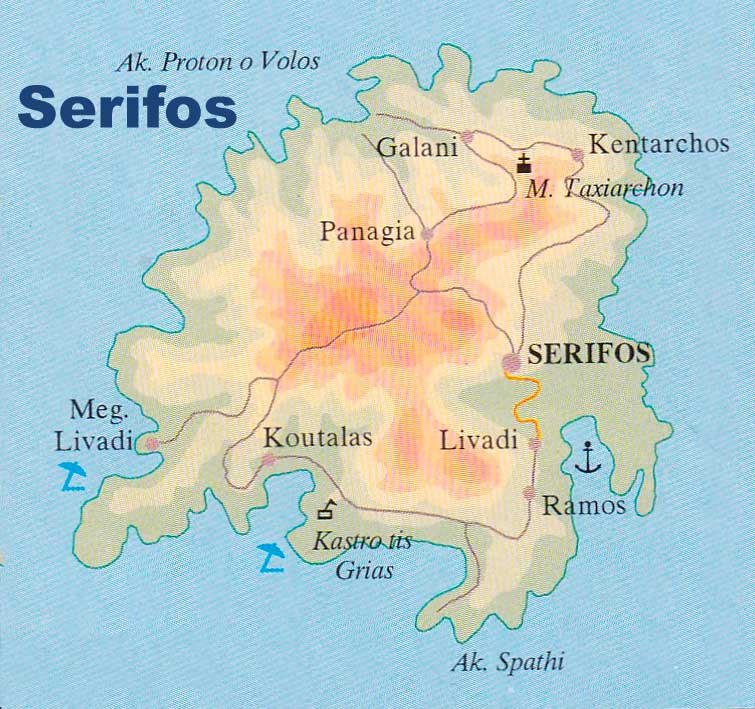
 Serifos is a Greek island located in the Aegean Sea, part of the Cyclades group of islands. It covers an area of approximately 75 square kilometers and has a population of around 1,400 people.
The island is situated between the islands of Kythnos and Sifnos and is known for its picturesque landscapes, clear waters, and traditional architecture.
The island of Serifos has a mountainous terrain with rocky hills and rugged coastline. Its highest peak is Mount Olympos, which stands at 584 meters above sea level. The island is surrounded by crystal-clear waters that offer great opportunities for swimming, snorkeling, and diving. Some of the most popular beaches on the island include Livadi, Avlomonas, and Psili Ammos.
Serifos has a rich history and cultural heritage, evidenced by its ancient ruins and charming towns and villages. The island’s capital, Chora, is a beautiful hillside town with narrow streets, whitewashed houses, and blue-domed churches.
Other notable attractions on the island include the Monastery of Taxiarches, a beautiful Byzantine church that dates back to the 16th century, and the ancient mines of Serifos, which were once a significant source of iron and silver for the ancient Greeks.
Serifos