Map of Rhodes island Greece
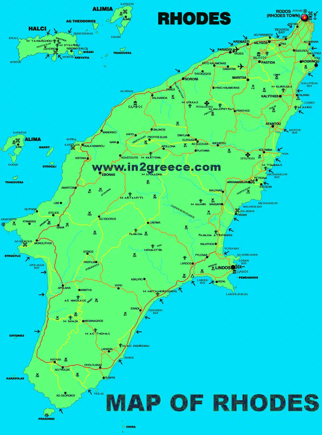
Rhodes Greece is located approximately 450 kilometers southeast of Athens and 18 kilometers southwest of Turkey. With an area of 1,400,684 sq. km, it is the largest island of the Dodecanese, the fourth in a row of the entire country and the ninth of the Mediterranean. It is washed by the Aegean Sea. It has a coastline of 253 km .
The island’s terrain is varied. The interior is mountainous, with Mount Attavyros, reaching an elevation of 1,215 meters, being the highest point. In contrast, the coastline offers a mix of long, sandy beaches and rocky shores, especially in the east and south.
MAP OF RHODES
RHODES MAP