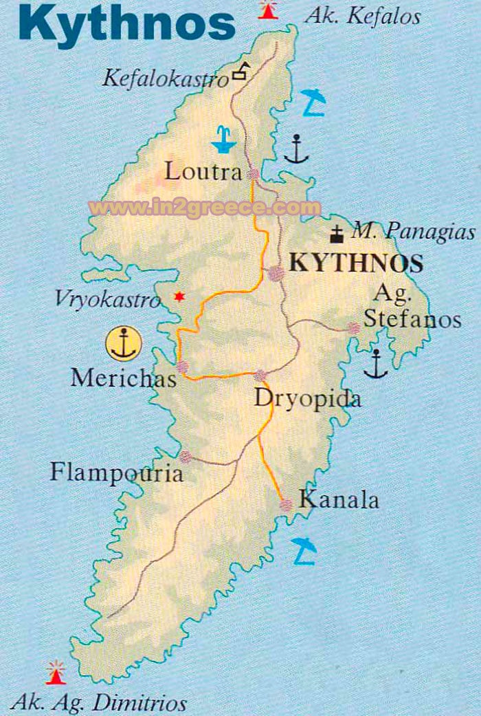
Map of Kythnos
Kythnos is a Greek island located in the Western Cyclades, in the Aegean Sea. Kythnos has a total area of around 99 square kilometers, making it one of the larger islands in the Western Cyclades.
It has a mountainous terrain, with several peaks exceeding 300 meters in height. The highest peak on the island is Mount Prophet Elias, which rises to a height of 376 meters above sea level.
The coastline of Kythnos is indented, with numerous coves and small bays. Some of the most popular beaches on the island include Kolona Beach, Kanala Beach, and Loutra Beach.
The island is also home to several hot springs that are known for their therapeutic properties. Visitors can take a dip in the warm waters and enjoy the scenic views of the Aegean Sea.
Kythnos is largely covered by vegetation and has a mild Mediterranean climate. The island is dotted with small villages and settlements, with the main town of Kythnos located on the west coast.
Kythnos island map