Map of Agathonisi
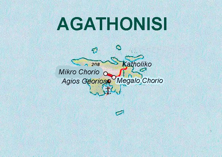
Agathonisi is the northernmost island of the Dodecanese complex and is located a short distance south of Samos. According to its geographical position, it forms the northeastern border between the Dodecanese and the sea area with the nearby Asia Minor.
The island has an area of 14.4 sq. km. and a coastline of 32 km and a road network of approximately 10 km. It is 25 nautical miles from Patmos, 18 from Samos and only 8 miles from the coast of Asia Minor