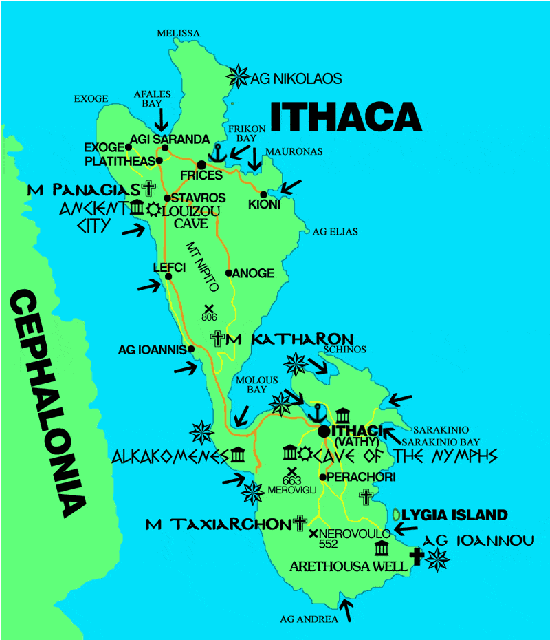
Map of Ithaca
Ithaca is one of the smaller islands of the Ionian sea, as we see on the map Ithaca located in the south of the islands of Lefkada and Kefalonia to the northeast, and Aetolia-Acarnania to the east. Ithaca has an area of 96 square kilometers and a population of 3084 inhabitants. Together with other smaller islands, Ithaca is a county in the prefecture of Kefalonia and Ithaca. On the map we can locate the ancient city of Ithaca and the cave of the Nymphs.
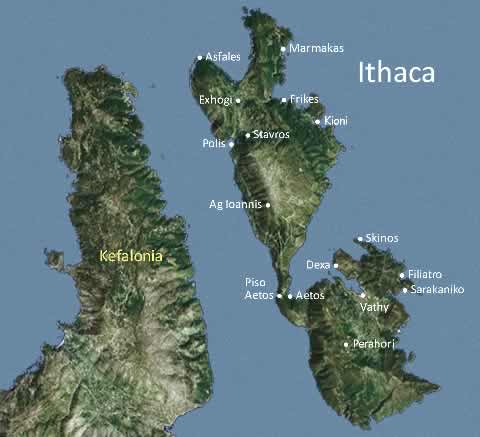
Ithaka, the island of Odysseus, is neatly divided north and south by the ridge at Aetos. The north of Ithaka has the better resorts, the biggest villages and the more interesting walks. The north-west side coastline is rough and ragged with only a couple of decent beaches while the north-east has rolling hills and fertile farmland. South Ithaka is mostly barren rock and scrub with the south-west virtually inaccessible. The south is identified with sites mentioned in Homer’s classic Odyssey.

Physical map of Ithaca

