Map of Hydra
Hydra is a relatively small island with a total area of around 50 square kilometers. It has a mountainous terrain, with its highest peak, Mount Eros, reaching a height of 592 meters above sea level. There are several other peaks on the island that exceed 500 meters in height.
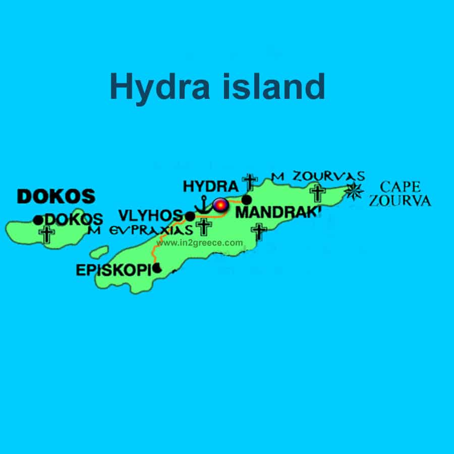
Unlike many Greek islands, Hydra has very few beaches due to its rocky coastline. However, it does have several beautiful coves and small bays that are great for swimming and snorkeling. Some popular spots include Vlichos, Mandraki, and Kamini.
One of the unique features of Hydra is that cars and motorbikes are not allowed on the island, so visitors must travel by foot, donkey, or water taxi. This adds to the island’s charm and tranquility, as there is very little noise or pollution.
Hydra island map