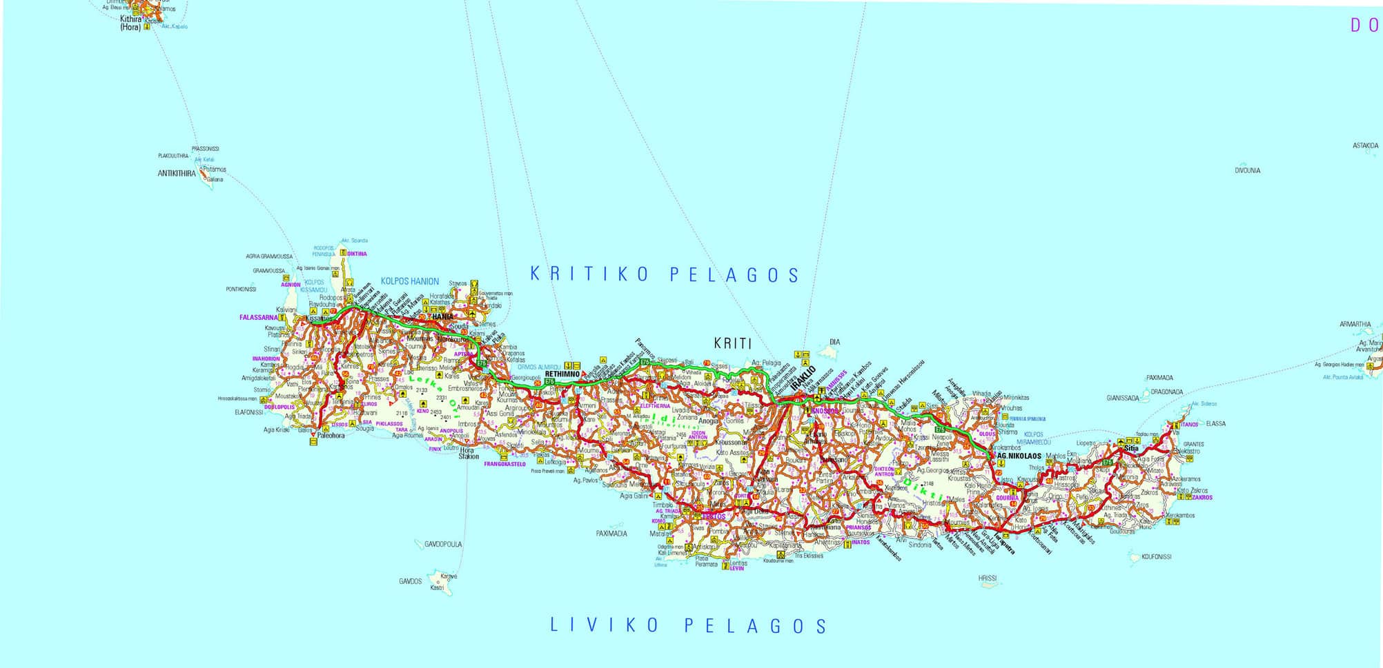
Map of Crete
Crete island located in the middle of the eastern Mediterranean Sea, roughly equidistant from the mainlands of Europe, Asia, and Africa; for this reason the island appeared, in antiquity, as being the center of the world.
One of the two northwestern points of Crete, Cape Spatha, located at the end of the peninsula of Rodopos, is about 96.6km south-east of Cape Maleas, one of the two southernmost points of south-eastern Peloponnese.
The north-eastern end of Crete is distant about 220km from the southern point of Attica, Cape Sounion.
The northeast tip of Crete, Cape Sideros, lies less than 180km southwest of the tip of the Datça peninsula in Asia Minor.
The southern coast of Crete is about 300km north of the Libyan coast.

