Map of Kimolos
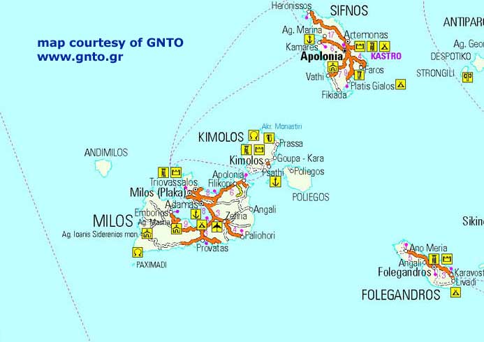 Kimolos is a small Greek island located in the Aegean Sea, part of the Cyclades group of islands. It covers an area of approximately 36 square kilometers and has a population of around 800 people. The island is situated between the islands of Milos and Sifnos and is known for its peaceful atmosphere, untouched beaches, and calm waters.
Kimolos has a rocky terrain with hills and scenic landscapes. Its highest peak is Mount Paleokastro, which stands at 364 meters above sea level. Despite its small size, the island has a rich history and cultural heritage, as evidenced by its ancient ruins and interesting architecture. The village of Chorio, the island’s capital, has traditional white Cycladic houses with flat roofs and narrow streets that are a common characteristic of the island architecture.
The island is surrounded by crystal-clear waters that offer great opportunities for swimming and snorkeling. Some of the most popular beaches on the island include Prassa, Rema, and Kalamitsi.
Map of Kimolos
