Map of Nisyros
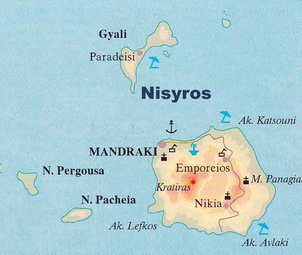
Nisyros is a Greek island located in the Aegean Sea, part of the Dodecanese island group. The island has a total area of around 41 square kilometers, making it one of the smaller Dodecanese islands. It has a rugged terrain with several hills and mountains, with the highest peak being Mount Diavatis at 698 meters above sea level.
Nisyros is also home to a series of volcanic craters and lava domes, which are now dormant. The central caldera of the old volcano is around 4 kilometers in diameter. The island’s geothermal activity is evident in the presence of boiling mud pools, hot springs and fumaroles in certain parts of the island, such as the village of Emborio.
The coastline of Nisyros is rocky, with numerous small bays and pebbled beaches. Some popular beaches on the island include Hohlakas Beach, Pachia Ammos Beach, and Lies Beach.
Nisyros has several small villages and settlements scattered throughout the island, with Mandraki being the largest town and the island’s administrative center. The town features traditional white-washed houses and narrow streets, and is situated on the northwestern coast of the island.
Nisyros island Map