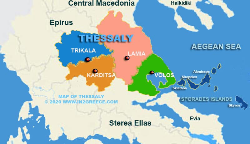
Map of Thessaly Greece
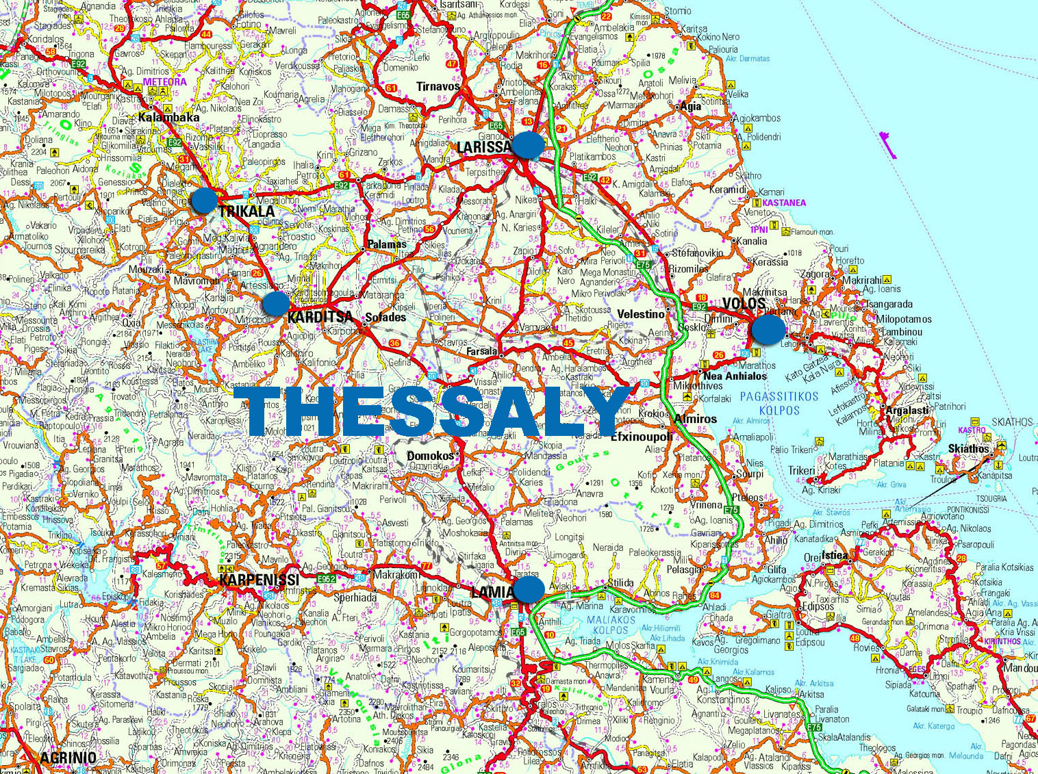
Thessaly has a total area is 14,036 km and represents approximately the 11% of the total area of Greece . It borders on the north with the regions of Western and Central Macedonia, on the south with the region of Central Greece, on the west with the region of Epirus, while on the east it is bathed by the Aegean Sea.
The land is mountainous-semi-mountainous and 50% flat, while its boundaries include the plain of Thessaly, the second largest plain and granary of Greece, which flows on the east west axis of Pinios river. The mountainous areas include mount Olympus, Agrafa, Ossa, Pelion and Othris.
The administrative capital of Thessaly is the city of Larissa.