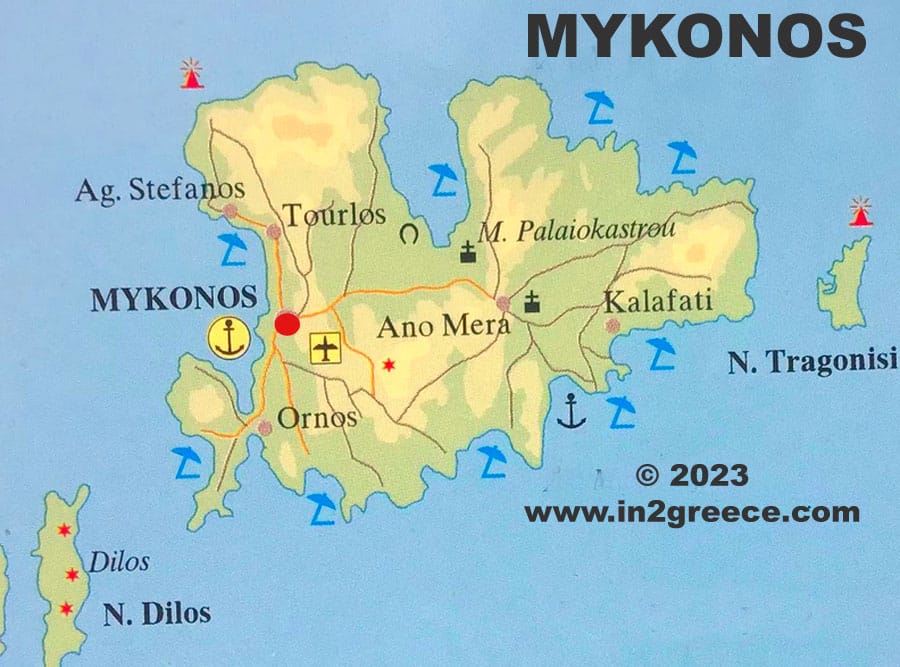
Mykonos island Map
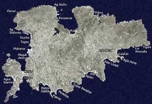
Mykonos is an island in the Aegean Sea and belongs to the Cyclades islands in Greece. As we see on the map Mykonos has many coves, the main ones of which are Tourlos in the west and Panormos to the North. The island has an area of ca. 90 sq.km.
At Panormos cove located the port of Mykonos. Its main capes are Aleomantra to the south-west, Armonistis to the north-west West and Evry to the east, opposite the island of Tragonisi.
The island of Mykonos is rocky and without smooth ground, but its mountains are of medium height: Anomeritis, to the east of 364m. and Vorniotis to the north.
Their highest peak is called Prophetis Elias. The island has minimal greenery. It has several torrents, but no river and only one source of the monastery of Tourliani, which is watered through wells.
Mykonos has a population of ca 11,000 people. The area of the island is 106 sq.km., while it has a coastline length of 89 km. Mykonos was one of the first Greek islands to be developed as a tourist destination.
Tourists have been flocking to the island since the 1960s. Today the nightlife of Mykonos is considered one of the liveliest and most active in Europe.
On the map of Mykonos we include the small historic island of Delos and west of it the island of Rineia.