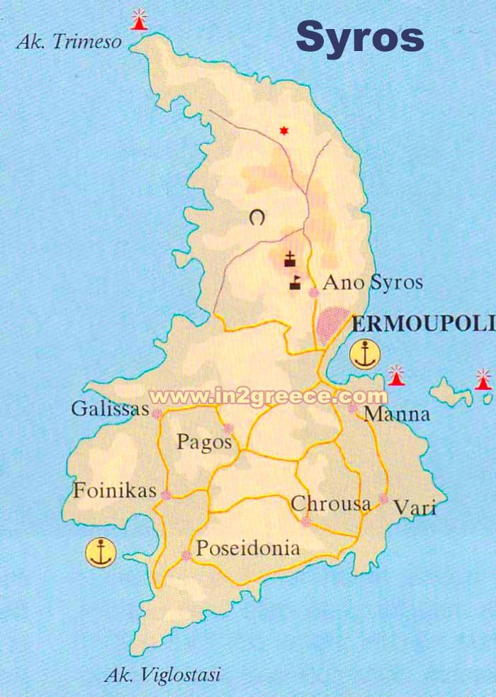
Map of Syros
Syros is a Greek island located in the Cyclades island group, in the Aegean Sea.Syros has a total area of around 83 square kilometers, making it one of the larger Cycladic islands. It has a varied terrain, with hills and mountains in the north, and flatter plains in the south.
The highest point on the island is Mount San Mercurio, which rises to a height of 442 meters above sea level. There are several other peaks on the island that exceed 400 meters.
The coastline of Syros is indented, with numerous coves and small bays. Some of the most popular beaches on the island include Galissas Beach, Kini Beach, and Vari Beach.
The island is home to several small villages and towns, with the capital Ermoupoli located on the east coast. Ermoupoli is the largest town on the island and is considered one of the most beautiful towns in Greece, featuring neoclassical architecture, narrow streets, and picturesque squares.
Syros