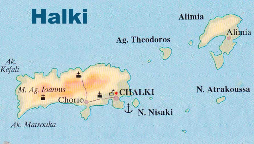
Map of Halki
Halki, also known as Chalki, is a small Greek island located in the southeastern part of the Aegean Sea, close to the island of Rhodes.
Halki has a total area of around 28 square kilometers, making it one of the smaller Greek islands. It has a rugged terrain with several hills and mountains, with the highest peak being Mount Kastro at 370 meters above sea level.
The coastline of Halki is indented, with numerous small bays and coves. Some popular beaches on the island include Ftenagia Beach, Kania Beach, and Pontamos Beach.
Halki has only one small village, Emporio, which is the island’s administrative center and main port. The village features traditional white-washed houses and narrow streets, and is situated on the west coast of the island.
Halki or Chalki map