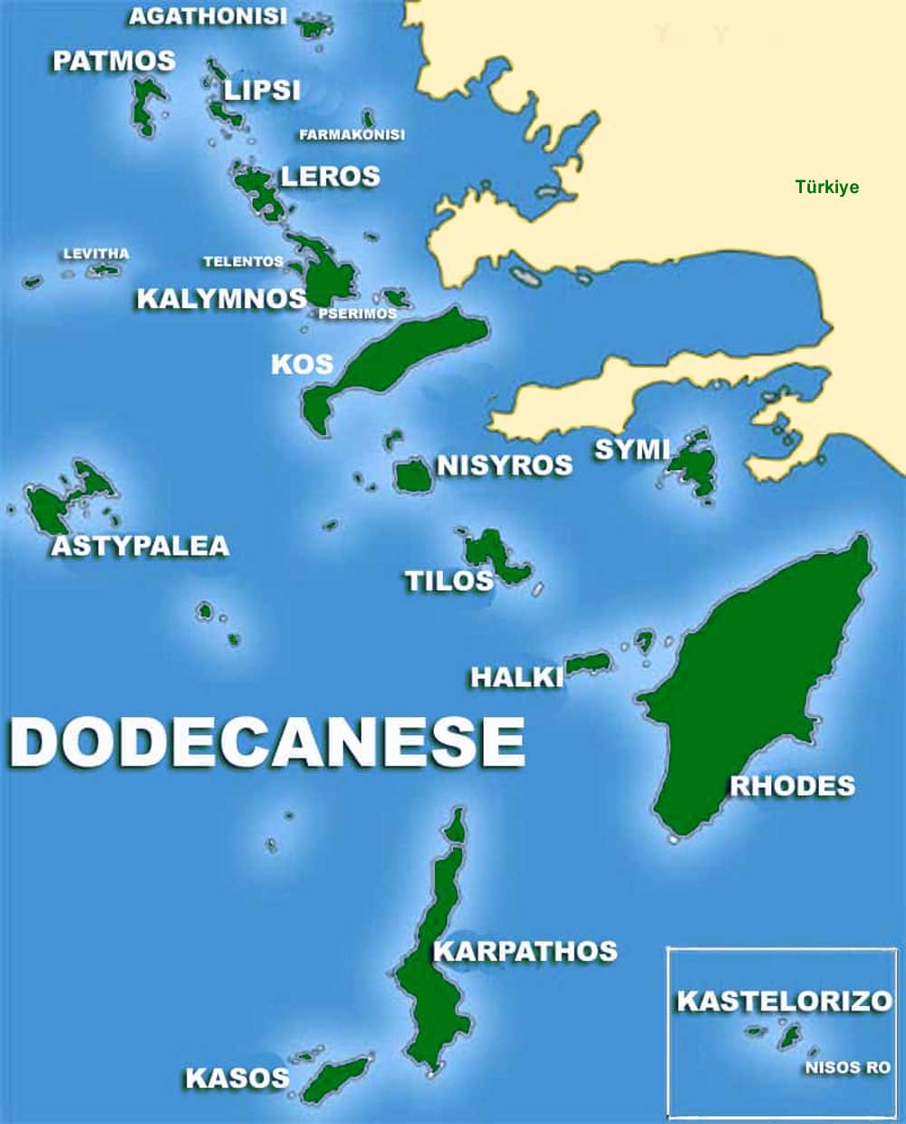
Map of the Dodecanese
The Dodecanese map offers a panoramic view of the Dodecanese islands, illustrating the geographical layout and proximity of each island to its neighbouring islands. While not interactive, the map serves as a visual guide, highlighting the islands’ locations, from the historical might of Rhodes in the north to the serene beauty of Kastellorizo in the east. Each island is marked, providing a clear view of their distribution across the Aegean Sea.
Explore the Dodecanese through the lens of our map and the narratives that bring each island to life. Though the map itself may not allow for interaction, it acts as a canvas, illustrating the geographical context for the rich tapestry of stories, cultures, and natural beauty that make the Dodecanese a captivating destination for travellers seeking to immerse themselves in the essence of the Aegean Sea.
In the spirit of exploration, we hope this journey through the Dodecanese inspires you to delve deeper into the history, culture, and landscapes of this extraordinary archipelago. From the ancient ruins that scatter the islands to the crystal-clear waters that embrace their shores, the Dodecanese stands as a testament to the enduring allure of the Aegean, where every island tells a story, and every story invites discovery
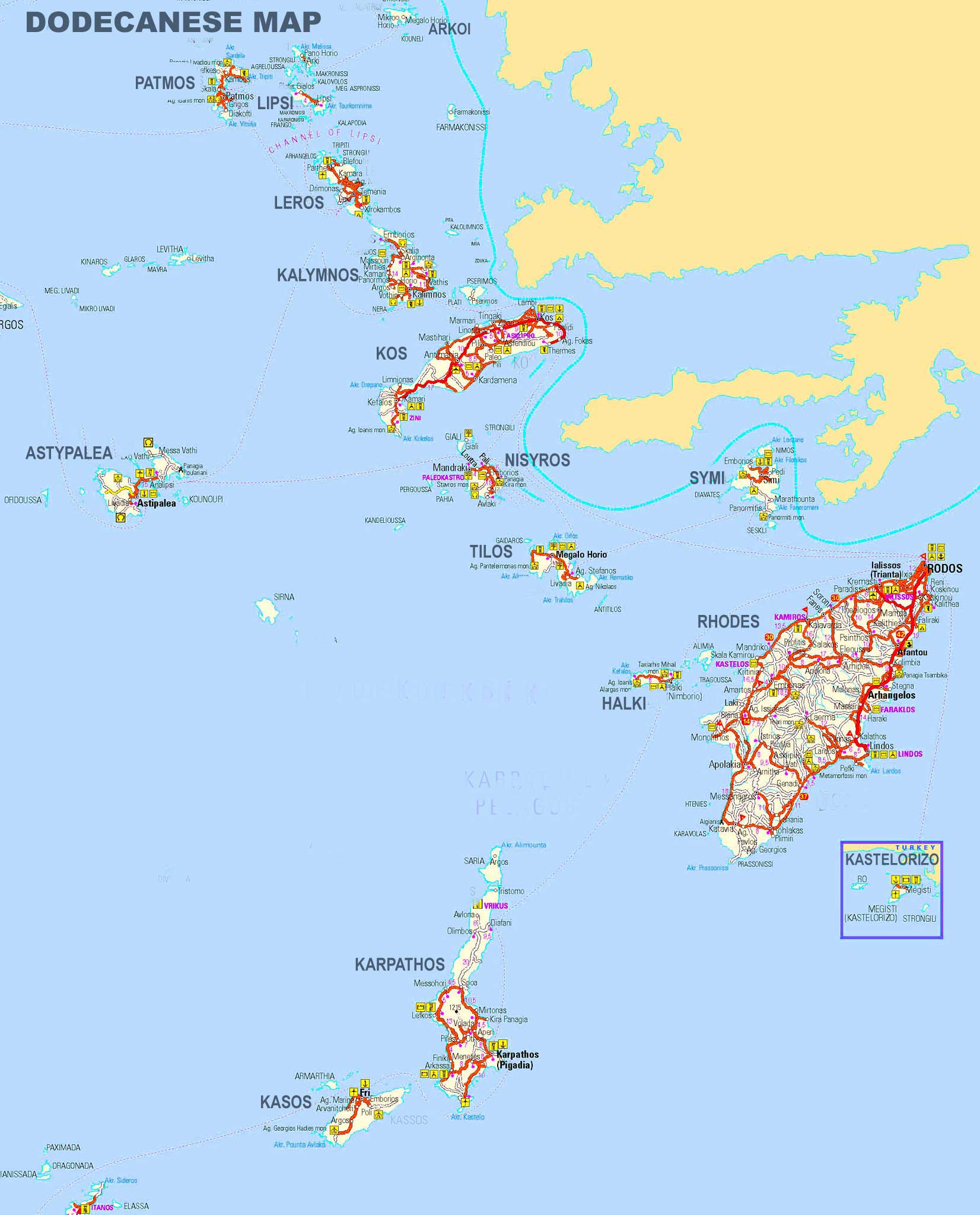
Large Map of the Dodecanese
Dodecanese