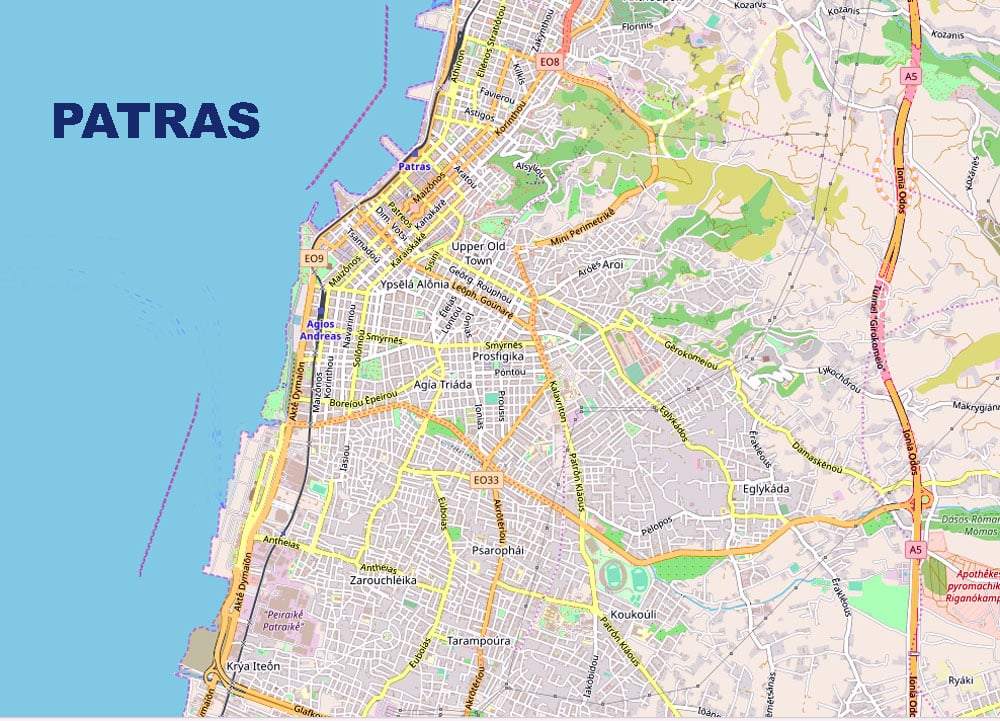
Map of the city of Patras
Patras, the third largest city in Greece, has a strategic location connecting the mainland with the Ionian Islands and Italy. Posioned around 215 kilometers west of Athens, it serves as a gateway to the Ionian Sea and the Adriatic beyond. This prime location has played a main role in shaping the city’s cultural and commercial identity over the centuries.
The city’s geographical setting is nothing short of captivating. Surrounded by mountains like Mount Panachaiko to the south and Mount Vodias to the east, Patras enjoys a picturesque backdrop that merges seamlessly with its urban landscape. The Gulf of Patras frames the city to the north, its azure waters enhancing the city’s allure.
The terrain is diverse, offering a mix of coastal plains and hilly landscapes, making it not only visually appealing but also providing opportunities for outdoor activities. This varied topography contributes to the city’s unique charm, offering both scenic views and recreational possibilities.

